Historic Vestiges

The area around Falkenberg has been inhabited since the end of the Ice Age. They have left many traces behind. Sometimes we know what they mean; sometimes we can only guess. Many of the locations are mysterious and are associated with fables and legends that make them all the more exciting to visit.
Sörby Kulturstig

Sörby Kulturstig

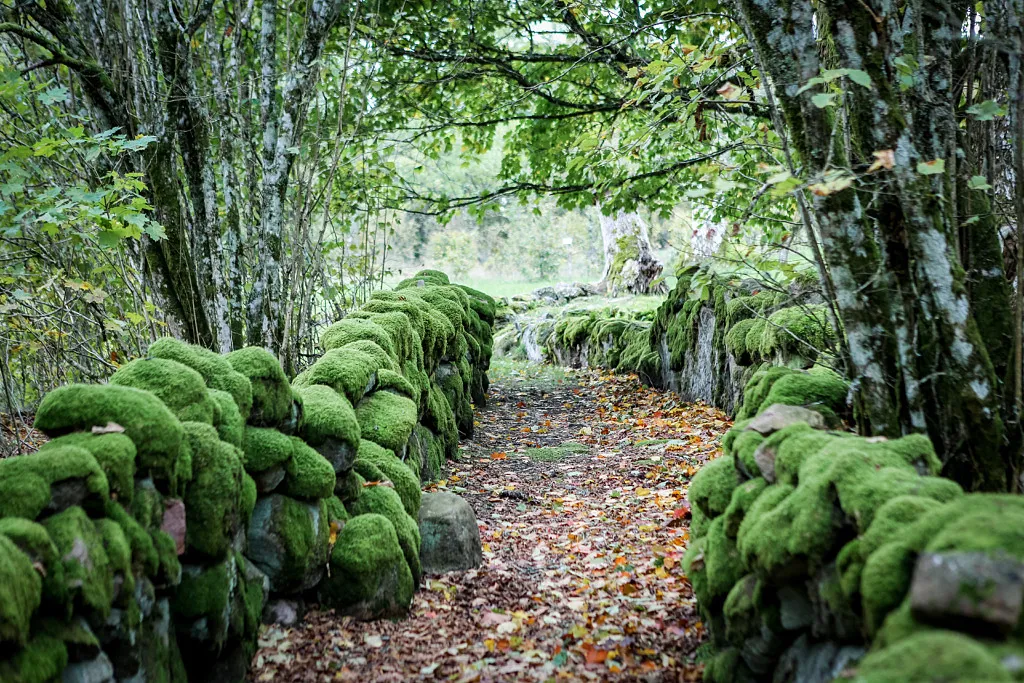
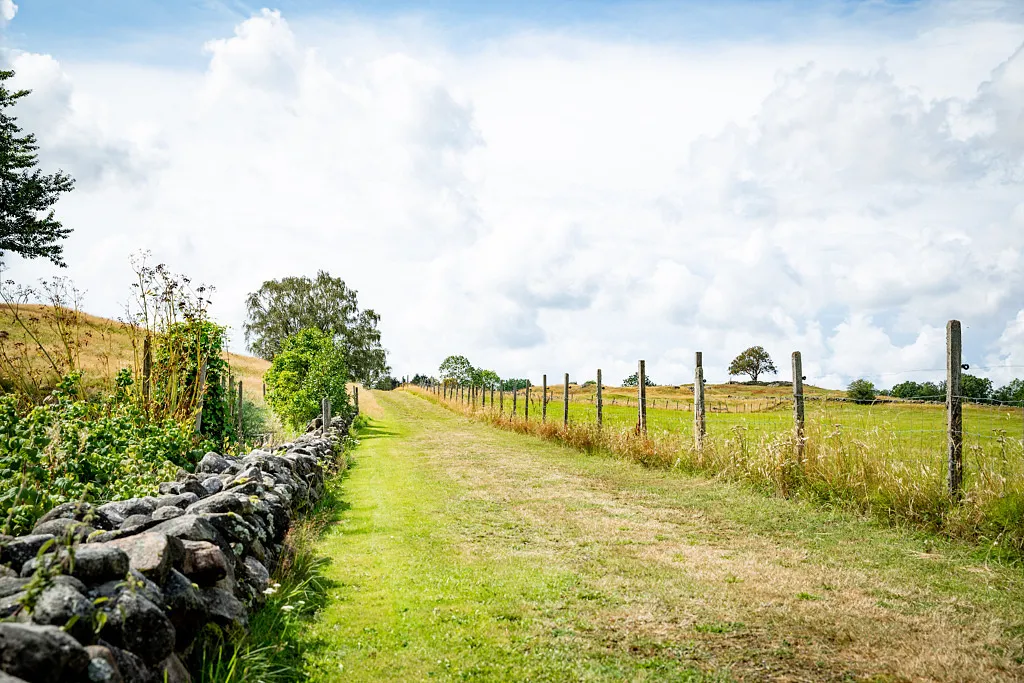
The lonely tree high up on the hill in Sörby is a beautiful sight. Take a walk back in time in beautiful nature. Sörby is a small town in the heart of the Ätradalen valley. Starting from the small car park, a historical path leads you along old transport routes, across flower meadows and past ancient monuments. A small brochure tells you about the history and sights along the historical path.
St Gertruds kyrkoruin

St Gertruds kyrkoruin

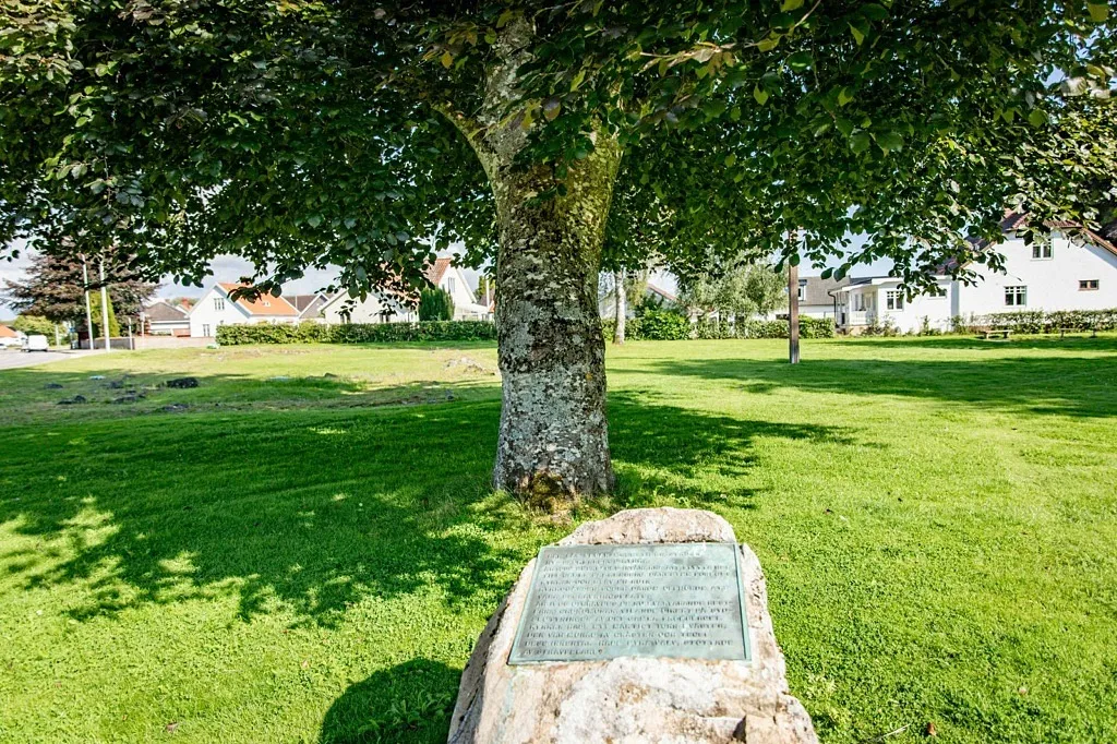
ust outside the current city center, there is a medieval church ruin, Sankta Gertrud's Church. On the site, there is a memorial stone with an inscription and a large wooden cross.
Jon in Slätthult’s

Jon in Slätthult’s

Jon Nannesson lived here between 1780-1872. The place has been immortalised by the author August Bondesson’s stories about Jon in Slätthult. The author, sociologist and medical doctor August Bondesson grew up in the nearby village Vessigebro. A couple of old, lopped ash trees and remains of buildings are tell-tale signs of where the homestead once was. There is a path around the lands where the names of the different fields are signposted.
Gunnagrotta (The Gunna Cave)

Gunnagrotta (The Gunna Cave)

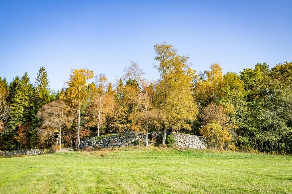
In the middle of Svartrå are these magnificent mounds of stones. One could easily take them for ancient remains, although it is no ruin but artfully created mounds. They were laid by Nils Jacob Zachariasson between 1893 and 1907. Jacob lived on the nextdoor farm, Gunnagård, with his wife Anna Charlotta, between 1882 until his death in 1923. Today Gunnagård is a visitors’ attraction, with a café and activities for children. Park in the farmyard and walk over to Gunnagrotta, which is visible from the gravel road. Be careful not to trample any growing crops on your way up to the mounds.
Glumstenen

Glumstenen

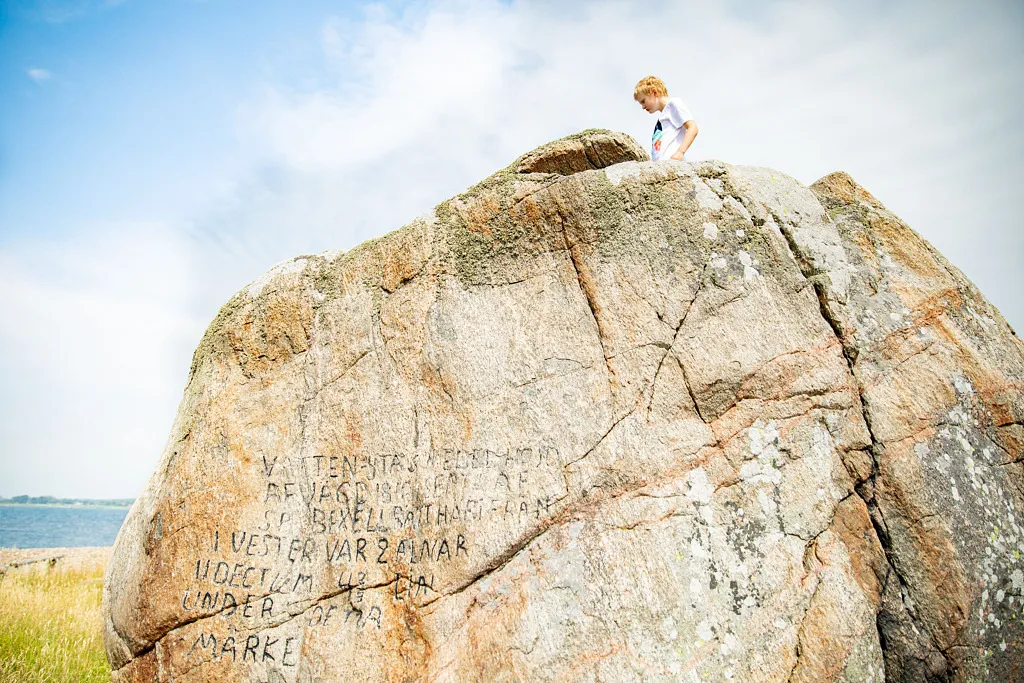
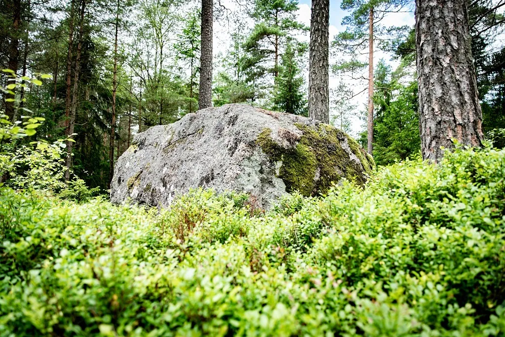
Far out on the promontory lies the big rock that has served as a landmark for as long as Glommen has been a settlement. It is also where Glommen gets its name from. An old navigation mark Way out on the headland north of Glommen’s harbour lies Glumstenen (Glum Rock), a boulder that has been there since the Ice Age. Shallow waters and reefs have always made the coastline around Glommen treacherous, and the rock has served as a landmark for ships. ‘Glaumstein’ The first historical records of Glum Rock date back to the 11th century, where it was referred to as ‘Glaumstein’ by the Vikings. In Hakon Hakonsson’s saga about the king’s war in Halland in the year 1256, ‘Glumsten’ is mentioned as the landing site and starting point for raids in the north and south of the region. The rock also served as a landmark for sailors up until the 1840s, when the Morups Tånge Lighthouse was built. Mysterious writings on Glum Rock. In 1816, a man by the name of Sven Petter Bexell carved the water levels of the time into the rock. Bexel carved texts on numerous rocks in the beech forests in Åkulla, often common sayings. Around that time, people were concerned about the falling sea levels, so Bexel decided to investigate the matter by carving the water level at the time into the rock.
Funtaliden

Funtaliden

Just outside of Fagered baptismal fonts were produced during the 13th century. There was plenty of greenstone -  a volcanic rock. The fonts were brought to the churches in the area and still today there are baptismal fonts in Ullared, Fagered, Källsjö, Vapnö and Svartrå that originate from this site. A stone, left behind by the mason and never finished, can be found at the production site and makes a nice destination. A path takes you through the area and there are information signs, tables and benches for picnics.  
Hagbards Gallows

Hagbards Gallows

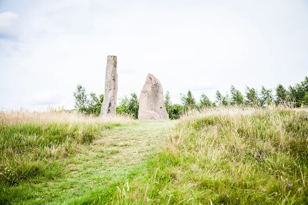
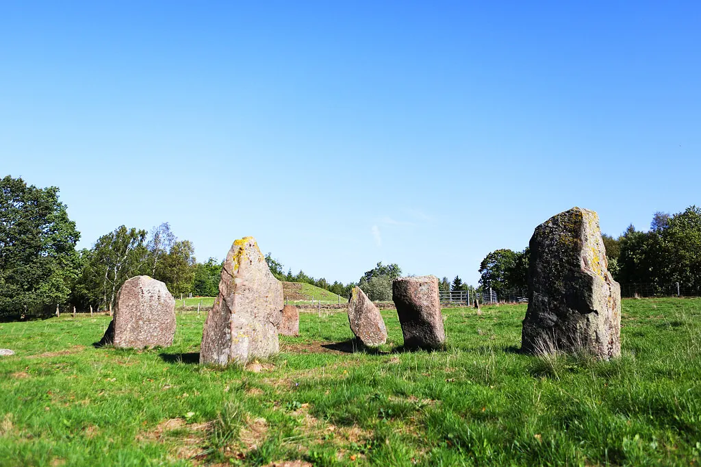
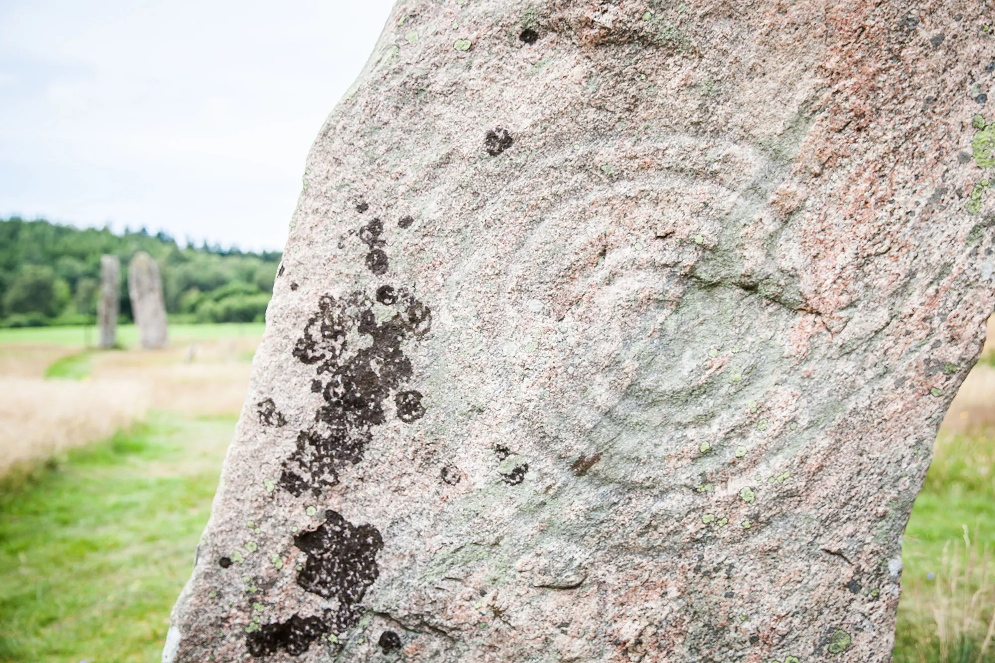
Now you have made your way to one of the most legendary locations in Falkenberg. Long before Shakespeare wrote Romeo and Juliet, a similar story is said to have taken place here. These large stones from the bronze age are said to be vestiges of the legend of Hagbard and Signe. Legendary Antiquity Four standing stones tower up over the landscape. These are bronze-age graves and they perhaps also serves as cult sites. The stones feature interesting petroglyphs in the form of sun symbols, ships and cup marks. The antiquity gets its name from the mediaeval hiking legend of Hagbard and Signe. You will find the antiquity right outside of Asige. You see it from the road and there is parking space. Information signs tell more about the location. The Legend of Hagbard and Signe The story was penned by Danish chronicler Saxo at the beginning of the 13th century. However, Snorri Sturluson, the famous Icelandic bard, tells us that the tale was heard from a man who lived in the 9th century. If so, then this is one of the oldest of the old Nordic sagas. In Saxo’s collection, we also find the story of the Danish prince Hamlet, so one might certainly wonder whether Hagbard and Signe may have inspired Shakespeare to write Romeo and Juliet Power Struggle, Vendetta and Forbidden Love Of all the locations in the Nordic countries associated with the legend of Hagbard and Singe, Asige is the one that fits best. Here you can read a brief summary of the story: “ The Norwegian prince Hagbard comes to Asige following a sea batter with the sons of King Sigar. The battle if fierce and undecided. Here he happens to meet Signe, the daughter of King Sigar. The young couple fall in love with each other, but due to a political conflict between their families, they are forced to keep their love a secret. In order to visit Signe in secret, Hagbard dresses in women’s cloths. He gets all the way to the bed chamber when one of Signe’s maidens senses the something is amiss. She tells King Sigar, who arrests Hagbard. Now the gallows await, but before this, the love-birds promise each other faithfulness until death. When the noose is placed upon his neck. Hagbard ask that they first hang up his coat; his wants to test Signe's love. Signe looks from her window and sees what she believes is Hagbard dangling in the gallows. She sets fire to the palace, hangs herself and burns inside with all her maidens. When Hagbard sees the smoke rising toward the heavens, he is no longer afraid to meet death and allows himself to be hanged, showing no fear. ”
Axtornastenen

Axtornastenen

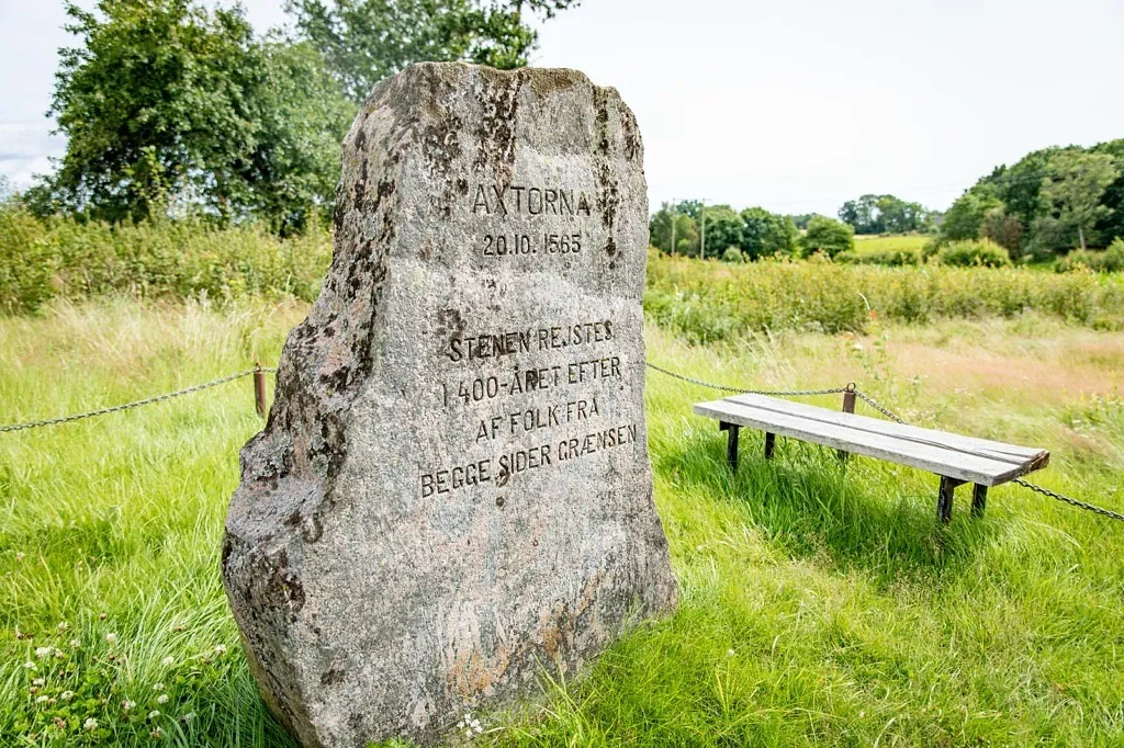
Here in the middle of the quiet Falkenberg countryside, the gun smoke hovered thick on 20 October 1565. The wind howled and the rain lashed when 20,000 men clashed at the battle at Axtorna, one of the greatest in Nordic history. Disputes over Halland During the trouble time of the Nordic Seven-year War, 1563-1570, Halland was a Danish possession. Sweden managed to take Varberg fortress in 1565. A Danish army was dispatched to take back the city, but it failed and was forced to flee southward. A Swedish army was then in hot pursuit. That the battle took place at Axtorna in Köinge was due to the fact that the Swedes managed to burn the bridge over Ätran and thus cut off the escape route. The Danish troops where forced to find a location to wade across the river and the choice was made to cross at this point. Bloodbath at Axtorna On 20 October 1565, 11,000 Swedish and 9,000 Danish soldiers met. Once the battle ended, some 4,000 men were dead on the battlefield and they are still buried here in mass graves. In spite of the Swedes being greater in number, the Danish army won, thanks largely to better cavalry and leadership. In spite of its magnitude, the batter had no great significance to the war. Visit the Site Today There are not many traces that bear witness to a major battle at Axtorna, but many finds have been made at archaeological excavations. A memorial stone and an information sign are what currently remind visitors of the battle. If you continue along the small road that runs down along the stone, you come to yet another ecomuseum, namely the Watermill in Axtorna.
The Sjönevad Garnet Mine

The Sjönevad Garnet Mine

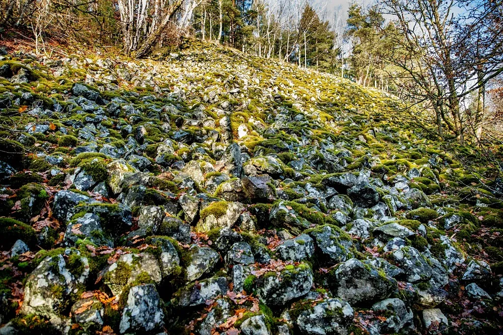
In the woods just outside Sjönevad the roses are flowering all year around. That is, the never-wilting garnet roses. Here is a garnet mine that is a little bit difficult to find, but well worth a visit and a challenge for those with a sense of adventure. During the cold winter of 1936-1937 a crew of about 30 men mined garnet out of the granite rock. A steep hillside filled with scrap stone and an open-cast mine still remains today. (more…)
Danabäcks sten

Danabäcks sten

Perhaps it looks like just another ordinary stone, but it has had a significant task for the past 600 years. For such a long time, the Danabäck stone constituted one of the boundary markers between Sweden and Denmark. Halland - A Danish History The year 1050 was an extremely long time ago. It is believed that such was the time when the first boundary between Sweden and Denmark was drawn up. The Danabäck Stone is located in the Älvsered region, as for north in the Municipality of Falkenberg that one can get, and it is one of six stones that formed the boundary marker at that time. Sources tell us that six Swedish and six Danish men travelled through the border area from northern Halland to the Baltic Sea and selected the stones. They chose stones with special appearances at strategic locations between the countries. This national boundary applied to Halland until 1645. How to Find the Stone You will pass by the stone if you follow East Denmark Hiking Trail, a 17 km-long hiking trail through Ålarp, Älvsered and Ulvanstorp. It may be a little bit hard to find as it is hidden among the branches, but once you get sight of it, you will understand why it was once chosen as a boundary stone. Today, it is also a cultural artefact.
Hällkistan vid Hulta

Hällkistan vid Hulta

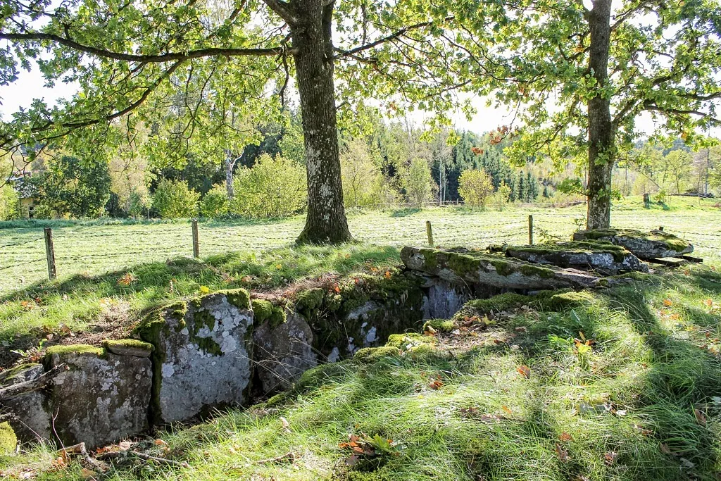
Out on an islet, under a few beautiful oaks, you will find one of Halland’s longest and best preserved stone burial chambers. About 4000 years ago, this seemed like a great place for a grave! Memories from the Late Stone Age A stone burial chamber is a rectangular chamber or grave structure from the Late Stone Age, this this antiquity is as old as 4000 years. The stone burial chamber at Hulta is 7.3 metres long and made of stone slabs in a pile. A sign with information can be found on site.
Treuddar

Treuddar

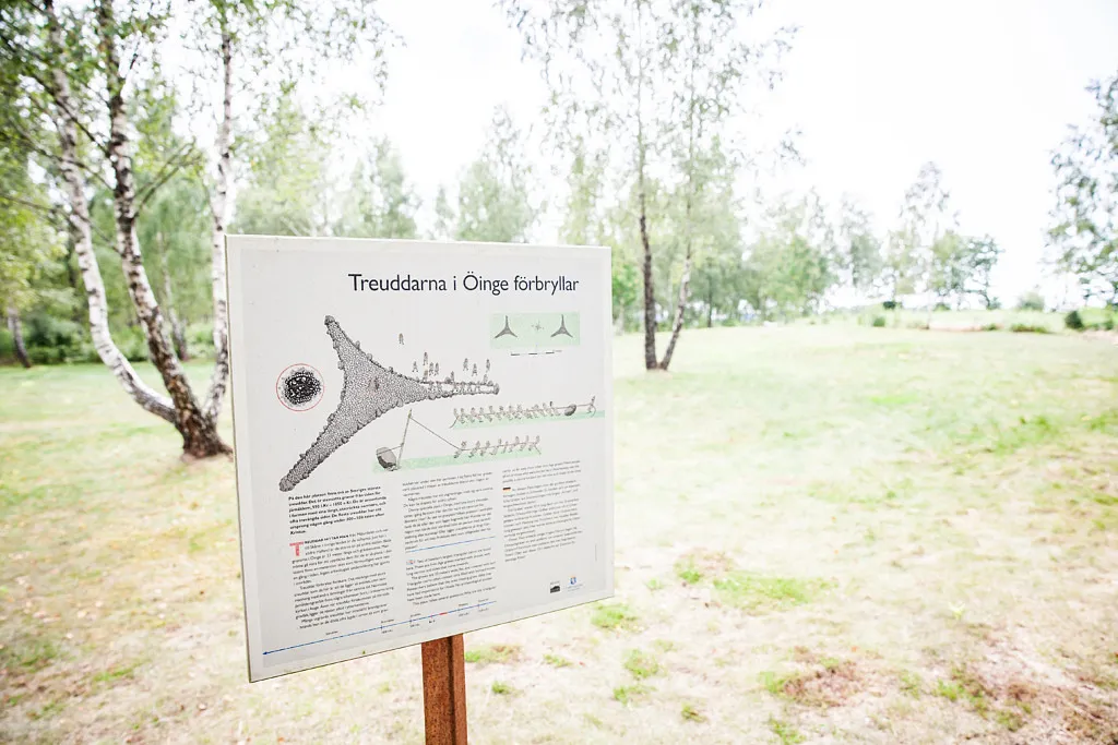
This special place with its large tridents wake the imagination. Was this a site for rituals at the time or was it a grave? Archaeologists agree, however, that they date back to the period of AD 400 - 600. Underground Antiquity A Öinge, a few kilometres south west of Asige, are two of the largest tridents in Sweden. The sides measure 33 m and are located about 25 m away from each other. They may be a little tricky to find as they are like an elevation in the ground. In the middle of one of the tridents is a metre-tall stone that has probably stood up. It is here, in southern Halland, that the tridents are actually larger than in other locations. Grave or Cult Site The tridents baffle the researchers. Some think that they are graves; others think they are cult sites. The three arms have also been connected with the three ancient Nordic gods Odin, Thor and Frey. No archaeological investigation has been conducted in the area.
Särestads gravfält

Särestads gravfält

Within Särestad’s grave field rest many generations of Särestad’s inhabitants that lived during the bronze age and the early iron age. Here you will also find a large mound called Hagbard’s Hill. Large Grave Field At this grave field, you can see many types of antiquities from the bronze and iron ages (1800 BC - AD 1000). Here there are stone formations, a trident, some 40 risen stones and about ten mounds. The highest of the mounts is Hagbard’s Hill with a height of five metres and a diameter of 30 metres. A significant person must be buried here. Could it have anything to do with the legend of Hagbard and Signe? Parking spots and signs can be found at the road.