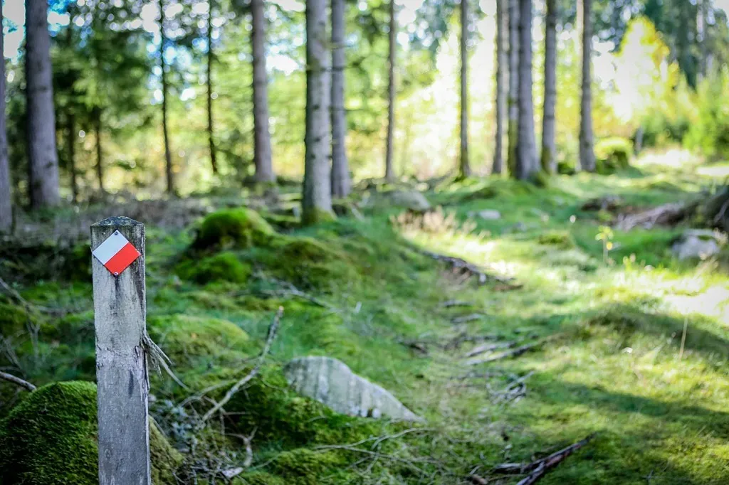
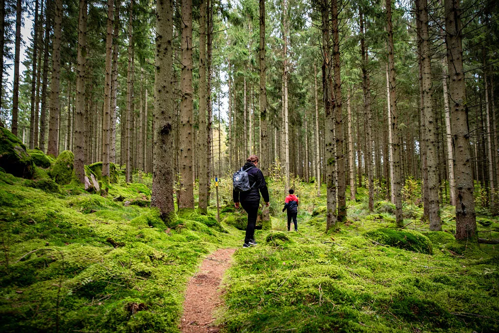
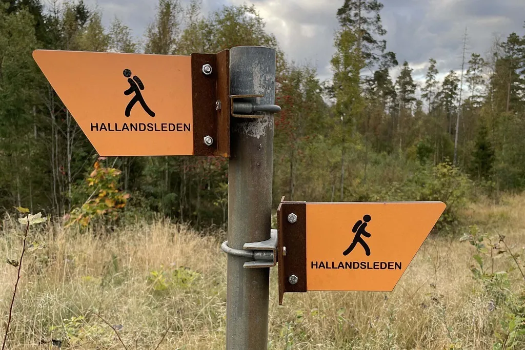
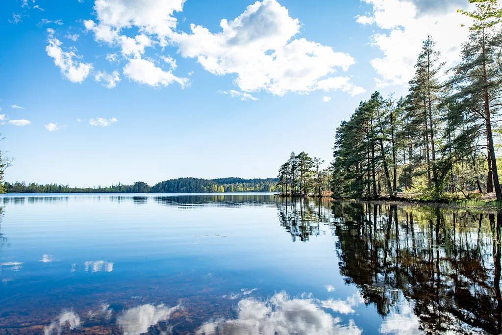
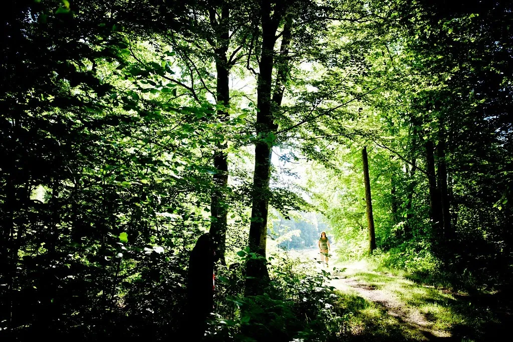
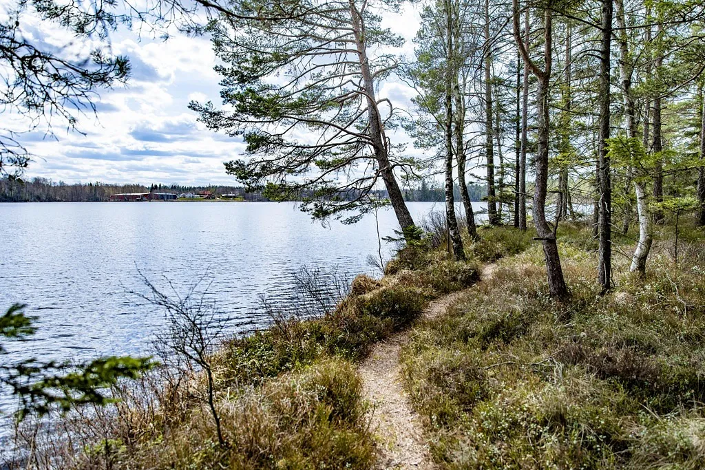
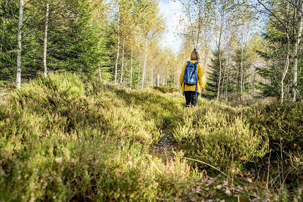
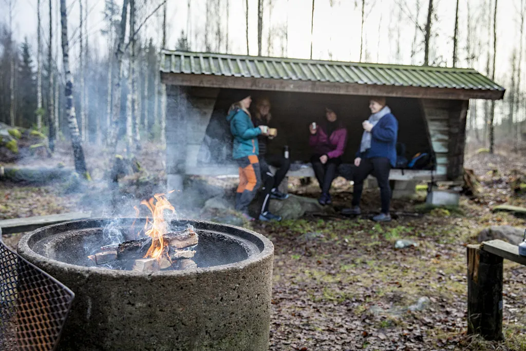
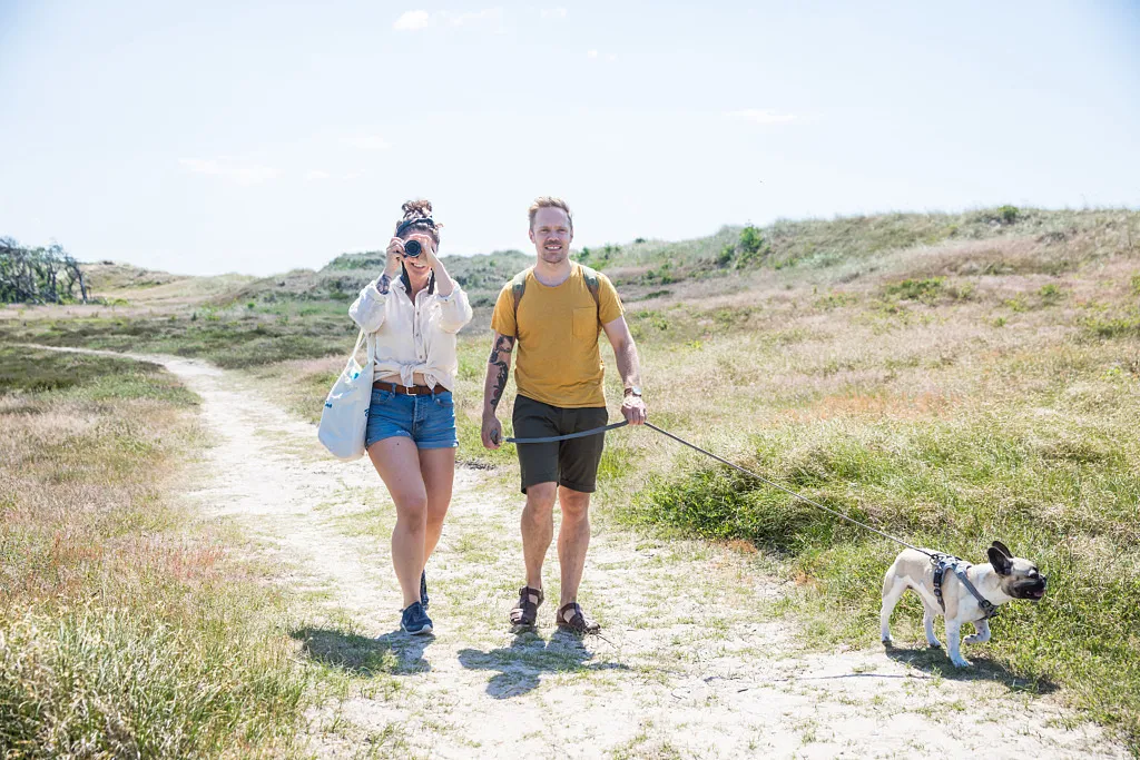
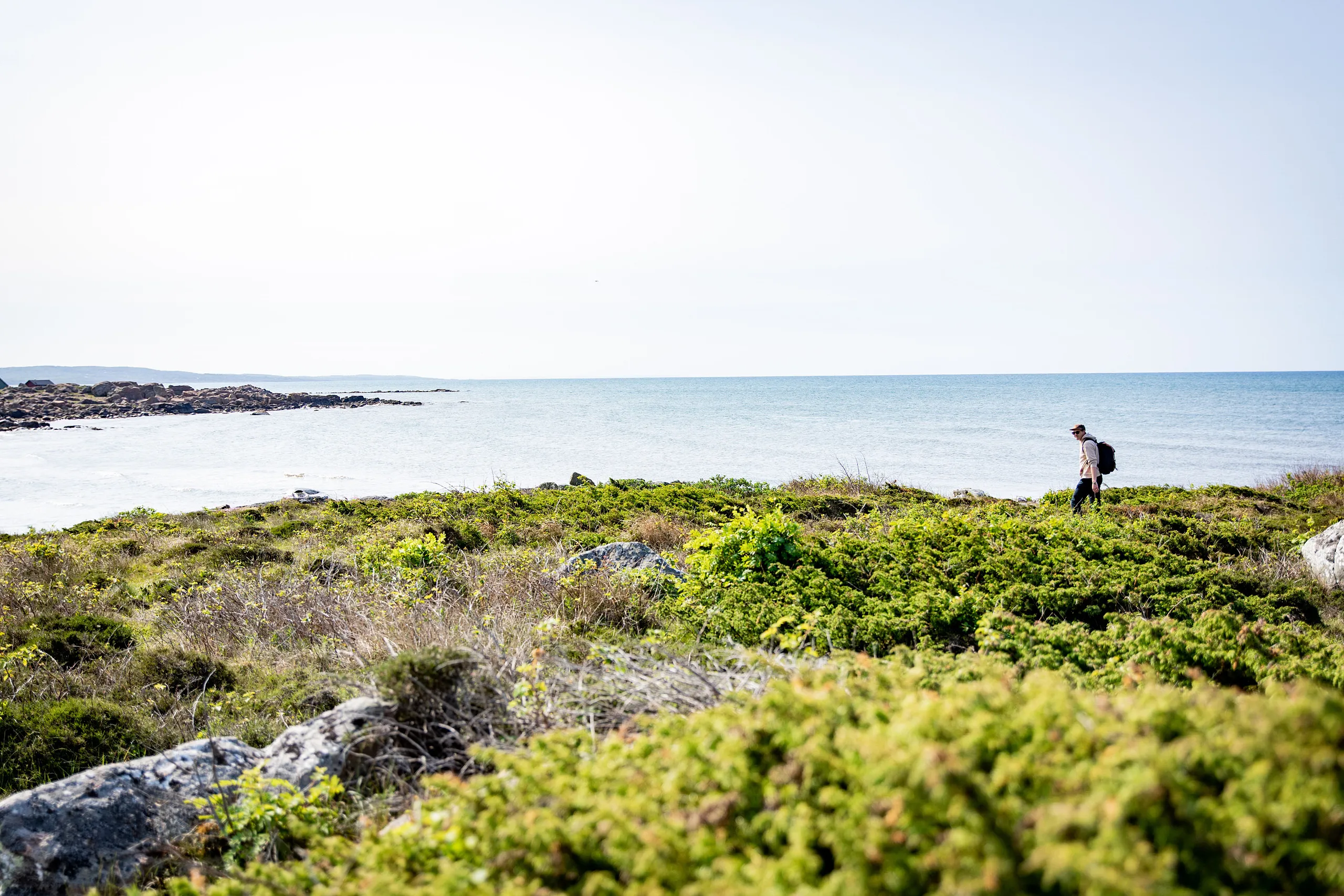
Hiking

Lace up your hiking boots and go explore the wilds of Sweden. Hiking through the varied colours of the autumn is just as enjoyable as doing so in the lush greenery of spring. Falkenberg has plenty of great hiking trails, ranging from a variety of footpaths to marked hiking trails.

Ödemarksstigen (The Wilderness Trail)

Ödemarksstigen (The Wilderness Trail)

The Wilderness Trail (Ödemarksstigen) connects four nature reserves but also passes through other beautiful forest areas in Falkenberg municipality. These reserves are Kålabro, Skogen, Bergs naturskog, and Boa. It is located in the highlands between Okome and Gällared. If you don't want to walk the entire 12 km, the trail can also be divided into two loops, each 6 km long. Länsstyrelsen (The County Administrative Board) writes: "The trail got its name, Wilderness Trail, from the fact that a hundred years ago there were several small villages in the area. These are now abandoned, and only a few ruins remain in the forests. So, in the midst of what today feels like wilderness, the area was full of life just a century ago." Read more from Länsstyrelsen here!
Vandringsled Östdanmark

Vandringsled Östdanmark

On this hiking trail, you can venture out into nature along a marked trail and learn some interesting historical facts along the way. This hike should amount to no more than a day trip at a relaxed pace. Lace up your books and head to Älvsered. Hiking trail with history The name stems from the old Danish-Sweden border, which the trail follows. Up until 1645 and the peace treaty at Brömsebro, Skåne and most of Halland belonged to Denmark. Back then, the border between Denmark and Sweden ran along here, by Älvsered. The oldest borders between Denmark and Sweden are believed to have been established around the year 1050. The Danabäck Rock may be one of the six rocks that demarcated the borders back then. Six men from Sweden and six from Denmark are said to have travelled along the border, picking out rocks with distinctive appearances that would be easy to recognise again. There are 35 signs along the trail that provide more information about the area’s history. About the trail The hiking trail is 17 km long. It starts in Ålarp, Älvsered and ends at Ulvanstorp. You can also opt for a shorter hike, referred to as “lilla leden” (“the little trail”), which is nine km long. If you are into geocaching, there are five geocaches hidden along the hiking trail. In the middle of nature You will be venturing down roads and paths but also footbridges over wetland areas. We recommend wearing proper footwear/boots for this hike. You will hike through varied nature with woodland, streams, lakes and bogs. The paths are easy to follow as they are marked at regular intervals. There are two shelters and barbecue areas along the way.
Hallandsleden

Hallandsleden

Want to live in the wilderness for a couple days, sleeping in shelters and drinking water from the creek? Or would you prefer a shorter day trip and simply enjoy a hike through nature? Hallandsleden shows you the way. See nature Hallandsleden gives you the opportunity to truly venture out on a long trip to explore Falkenberg’s inland areas. You will hike by and across the Ätran river and Högvadsån’s scenic valleys where the landscape constantly changes. One moment you’ll be hiking through deep forests and another you’ll find yourself surrounded by open meadows with paddocks and small red cabins. Hallandsleden follows old routes that are steeped in culture and ancient history, and many of the sights you’ll pass along the way have signs that tell you more about them. About the trail Hallandsleden goes through all of Halland and is close to 380 km long. The trail links up with Skåneleden in the south and Bohusleden in the north. In Falkenberg Municipality, you have several options as there are two routes here, east and west. The trail follows the paths and back roads, and there are shelters and places you can spend the night scattered along the way. How far you want to hike is up to you, and you can plan how much ground you want to cover every day by taking advantage of the maps found along the trail. Maps There are three maps that cover the whole of Hallandsleden. You can get them for free at Falkenberg’s Tourist Information Office. More information you will at Hallandsleden website.
Take a walk round a lake

Take a walk round a lake

In Falkenberg, you are never far away from a quick and easy trip out into nature. No need to hire equipment. A rucksack with a few snacks and a comfy pair of shoes and you’re ready to head on out there. Taking a walk round a lake is particularly beautiful and calming. Here are our best tips! (more…)
Åkulla Bokskogar

Åkulla Bokskogar

One visit to Åkulla is enough to make you want to return some day. It’s a lovely area for outdoor activities, and there’s plenty to explore. Sweden’s foremost beech forest area Åkulla Bokskogar lies on the border between Falkenberg and Varberg, covering an area of 50 square kilometres. The area contains about 20 lakes and several nature reserves. It is one of Sweden’s foremost beech forest areas given the fact that it is home to a wealth of rare and endangered species. Hiking for everyone Åkulla is suitable for the whole family. There are no less than 12 hiking trails here, varying from 1.6 km to 6 km in length. Bring your stroller, dog, running partner, or picnic bag and make a day out of it, choosing the route that suits you best. The trails are also interlinked, making it possible to explore different parts of the area and go on longer hikes. The trails are well marked and interspersed with maps to help guide your way. Maps of the hiking trails Explore Åkulla There are several activities to choose from here. For instance, you could go fishing in the lakes, visit the local attractions and stay the night. Åkulla’s beech forests have a long season that extends from early spring to late autumn, and there are still plenty of things to do even during the winter months. In the winter, the ski tracks with artificial snow at Åkulla Friluftsgård are a popular attraction for professional as well as amateur skiers.
Naturstigen Solvik

Naturstigen Solvik

On this nature trail, you cross over marshes dotted with berry bushes and through forests with crooked pine trees. On the way, you’ll pass by the Fegen Chapel, where you have a breathtaking view of the lake. Walk along Fegensjön There is a lovely trail with clear directions along the lake’s western beach. Traverse the footbridges and bridges as you explore the lovely area from Solvik by the Fegen hostel to the swimming spot in Linjevik. Along the trail, there are boards with information about Fegen and what you can see and do during your walk. You can read about the lake’s unique fish, how it got its name, the so-called ‘skomakarbär’ (a local variety of blueberries) and much more. A round trip to Linjevik and back The nature trail is 2 km long and takes you to the swim spot in Linjevik, where there is a barbecue area, tables and benches, a bathing jetty and swings, so be sure to rest up here for a bit before heading back the same way you came.
Boa kyrkstig

Boa kyrkstig

Follow in the old congregation’s footsteps! This 6 km long path runs through beautiful and varied nature from Boa to Okome. Pack a few sandwiches and follow the yellow markings for a wonderful day out in the forest. Historical hiking The Boa church trail is exactly what it sounds like, an old route for the people who lived in the village of Boa to get to church. In the olden days, attending church was compulsory and the quickest way to get to the church in Okome was through the forest, a trip of 6 km one way. These days, with a good pair of shoes and a flask of coffee in your backpack it’s a beautiful hike. Back in the old days, people would have walked this path in their Sunday finest come rain or shine. You will find a few smooth stones, called “resting stones”, right next to the trail at the halfway point. The history of the area makes this a really thought-provoking walk. The natural backdrop changes from majestic beech forests and stately coniferous forests to wide open spaces. There are forest trails for part of the way. Some areas are slightly wetter and there are log bridges in places. The area is hilly and the path is clearly marked with yellow signposts. There is a small cark park in Boa where the signage starts. If you are staying at the other end, in Okome, then the signposts start at these coordinates. Park by Okome Church and walk along Gällsåsvägen and then Furulidsvägen until you see the signposts. The trail is 6 km long and you can follow the country road on the way back if you don’t want to take the same route back, making it a roughly 10 km round trip. The Boa church trail is part of Ekomuseum Nedre Ätradalen and is maintained by Okome-Köinge-Svartrå hembygdsförening.
Lean-to single track Hallandsleden

Lean-to single track Hallandsleden

Listening to the crackle of an open fire and looking out over a beautiful dusky landscape is a magical experience. Whether you want to sleep in a lean-to or just pop yourself down to grill a few sausages, Falkenberg has loads of great places to choose from. The Hallandsleden trail stretches across the entire region of Halland, from Laholm in the south to Kungsbacka in the north. In Falkenberg it even has a double track so you can take a walk around Falkenberg (also passes through the municipalities of Varberg and Halmstad). There are five lean-to’s in Falkenberg to rest in along the Hallandsleden trail. Read on for a description to make it easier for you to plan your trip. A good tip is to walk there and back a bit for a shorter trip, or just head over here for a quick picnic.   Upper route - from north to south   Kogstorp The lean-to in Kogstorp is located at the edge of the forest and has great views of the open landscapes and forested hills. Despite the peace and quiet of nature, Gekåsbyn camping site and of course the large department store are right nearby. Coordinates: 57.118536, 12.691897 Here you will find: Timber lean-to for 4-5 people Fire pit Dry toilet   Kärnebygd Nestled peacefully among the pastures and meadows of the surrounding farmland lies the Kärnebygd lean-to. The lean-to is located on a rise and the adjacent pastures are often filled with cattle and other grazing animals. There is a dry toilet right nearby, see the map for the exact location. Coordinates: 57.178493, 12.858910 Here you will find: Timber lean-to for 4-5 people Fire pit Dry toilet   Eseredssjön The windshield is located on an incredibly beautiful place just next to Eseredssjön. At Ätrans Fritidsanläggning, which is located nearby, is it possible to buy a fishing licence or rent a canoe. Coordinates: 57.124717, 12.961580 Here you will find: Timber lean-to for 4-5 people Fire pit Dry toilet   Lower route - from north to south Skattagårds vindskydd The landscape around Sörby changes from forest to panoramic views over rolling hills. Just a hop, skip and a jump away from the path you will find Skattagård campsite. Coordinates: 56.957473, 12.677649 Here you will find: Timber lean-to for 4-5 people Fire pit Dry toilet Frodeparken Right in the middle of the majestic forest in the Frodeparken nature reserve you will find a clearing with a lean-to. Don’t forget to check out King Frode’s grave that is located nearby. Coordinates: 56.863074, 12.828928 Here you will find: Timber lean-to for 4-5 people Fire pit Dry toilet Contact The municipality of Falkenberg looks after this lean-to. If you see something that needs fixing then get in touch with the Contact Centre: Phone: +46346-88 60 00 E-mail: kontaktcenter@falkenberg.se
Nature reserves

Nature reserves

Falkenberg is home to an abundance of beautiful nature and wildlife. There are sandy coasts with salty winds and the smell of seaweed, as well as deep and enthralling forests that hide secrets. There is an easy way to find these amazing places: Visit a nature reserve.